
The National Park Service has proposed a long-term expansion of trails at Gettysburg National Military Park and Eisenhower National Historic Site, aiming to give visitors safer ways to explore the parks on foot or by bicycle while protecting historic and natural resources.
A draft environmental assessment released for the plan compares the proposal with a no-action alternative. Under that alternative, the parks would continue routine maintenance but build no new trails or connections. Eisenhower NHS would remain disconnected from Gettysburg NMP’s trail network.
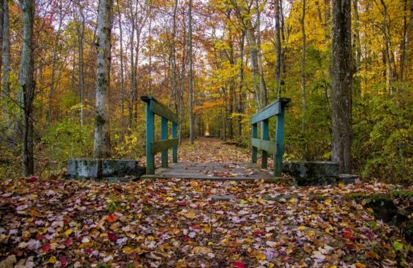
The proposed plan would add about 3 miles of multi-use trails for pedestrians and bicyclists, along with 13.3 miles of pedestrian trails. It would also establish several walking routes at Eisenhower NHS, allow bicycles on selected existing pedestrian trails, improve trailheads and visitor amenities, close some redundant park roads to vehicles, and restore selected unauthorized trails.
The NPS says the changes would address safety concerns where walkers and bicyclists currently share roads with motor vehicles. One planned connection would link the two parks, where visitors now must travel on roads that include posted speeds of up to 40 mph. The plan also aims to reduce congestion at busy visitor locations and give visitors access to areas that are difficult to reach without a vehicle.
At Gettysburg, the proposed routes include trails near Culp’s Hill, the Railroad Cut, East Cemetery Hill, the Wheatfield and South Cavalry Field. At Eisenhower NHS, trails would reach parts of the farm beyond the developed area around the Eisenhower home, including the skeet range and show barns.
The assessment estimates the plan would cost about $5.8 million to build, in 2026 dollars, and require about $140,000 in annual maintenance. The NPS says the work would be phased over 10 to 15 years as funding, staff and project reviews allow. These figures are planning estimates, not a budget or funding commitment.
The proposal could also affect sensitive resources. The assessment estimates about 0.36 acre of potential wetland disturbance from proposed routes, plus 0.02 to 0.03 acre associated with a proposed bridge over Willoughby Run. The NPS says final alignments would avoid wetlands where practical and use boardwalks or similar structures where crossings cannot be avoided.
The parks contain nationally significant battlefield and Eisenhower-era cultural landscapes, historic structures and archaeological resources. The assessment acknowledges that construction could disturb soil, remove vegetation or alter historic views. Before individual projects proceed, the NPS says it would conduct site-specific cultural-resource reviews and archaeological surveys, adjust trail alignments where needed, and consult with the Pennsylvania State Historic Preservation Office.
The plan would also close and rehabilitate selected social trails, which the NPS says can contribute to erosion and damage vegetation, monuments and archaeological resources. Construction safeguards would include erosion controls, native-plant restoration, seasonal limits on tree removal and surveys for rare plants and nesting birds.
A federal species review identified six threatened, endangered or proposed species for consideration, including four bat species, the green floater mussel and the monarch butterfly. The review found no designated critical habitat in the project area. The assessment says the NPS expects no effect on the monarch butterfly or green floater and a “not likely to adversely affect” determination for the four bat species. It notes that individual trail projects may require further review.
The draft says the NPS will hold a 30-day public comment period and a public meeting. It does not provide dates for either. The document evaluates the proposal but does not announce a final decision.
Sources